Katarapko – a great spot to explore by canoe and kayak
Katarapko
Where is Katarapko?
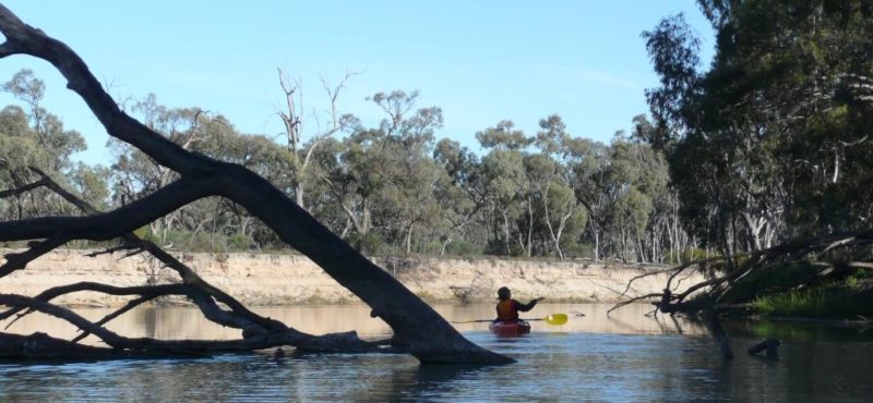
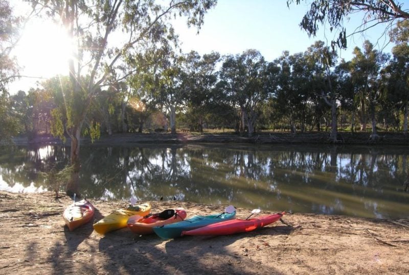
Katarapko is a great spot on the Murray to explore by canoe and kayak in the Riverland of South Australia, less than 250km from Adelaide, between Berri and Loxton. Katarapko can refer to the Murray River National Park – Katarapko Section, or simply to Katarapko Creek itself. Katarapko Section includes a number of different paddling options and entry and exit points, including the Murray River, Katarapko Creek, the Splash, Eckert Creek and the Bookpurnong Cliffs. These can be pieced together in different combinations to allow paddling from short 1-2 hour outings, half-day trips and overnight canoe camping with options to suit a variety of different abilities, fitness levels and time spans.
What will we see?
Depending on which section of Katarapko National Park you are visiting, scenery ranges through
- narrow creeks, to wetland lakes, to the full width of the river,
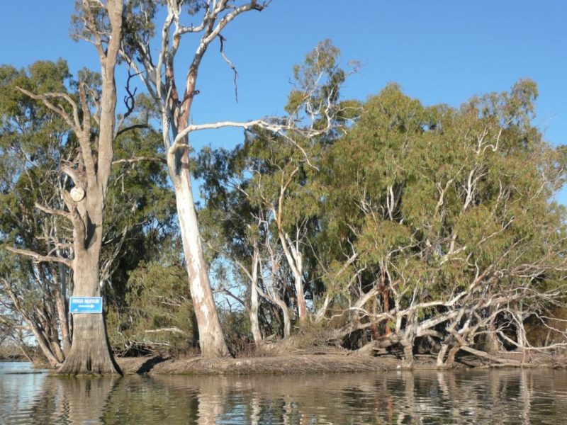
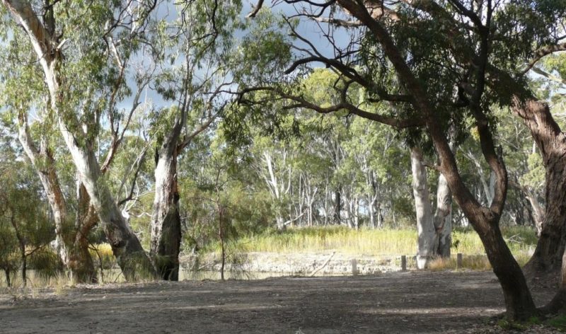
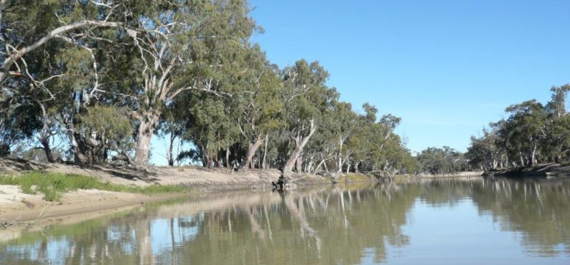
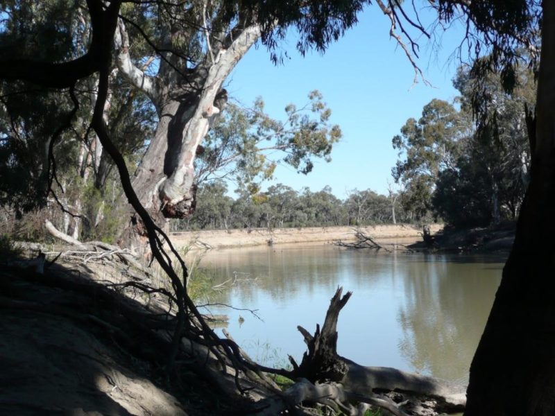
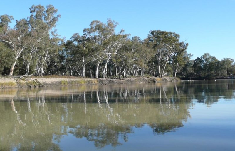
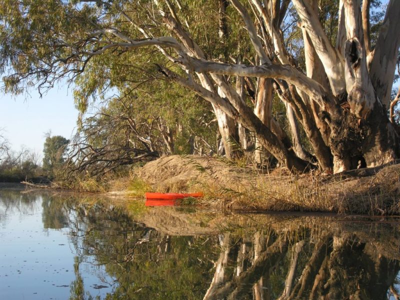
- shady banks lined with red gums, grey clay banks and towering cliffs of red and yellow limestone
- explorations range from travelling through a lock, to the solitude of camping kilometers from the nearest town.
What is Katarapko Creek like?
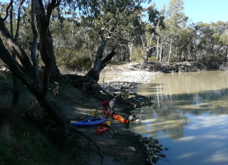
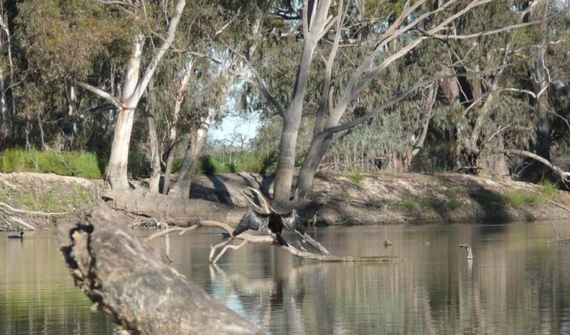
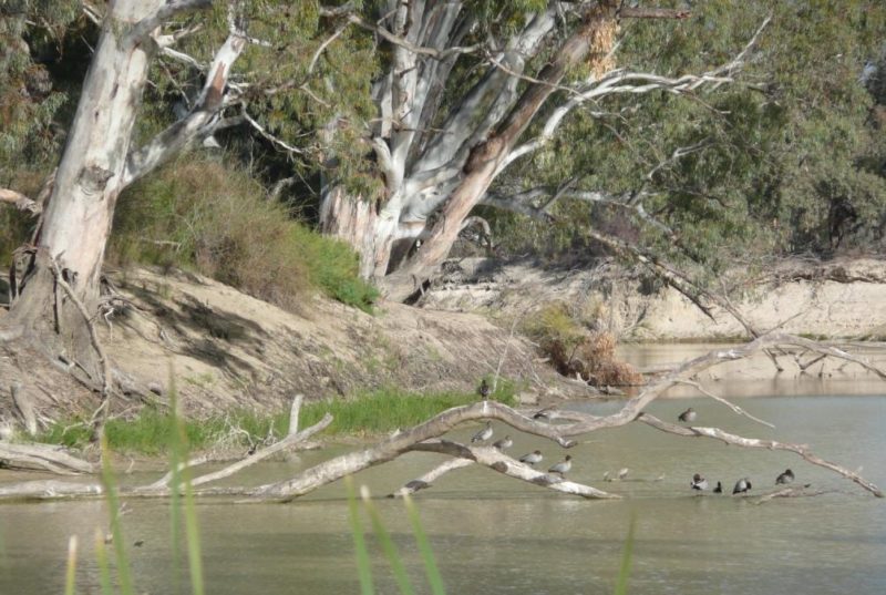
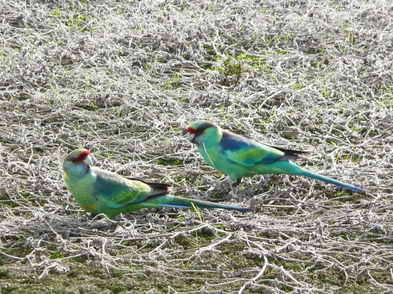
The creek averages around 30 metres wide on the upper stretches, widening nearer the end. It is a pleasant winding route, usually with low flows. The scenery along Katarapko creek varies – the upstream end has a lot of steep grey banks with magnificent shady redgums along the top. Further down are areas with sandy banks. There are patches of emerging young redgum forests. Kangaroos, Pelicans, Parrots, Ibis, Cormorants, Spoonbills, Darters and Whistling Kites are a common sight.
Here is one of our short videos of Katarapko.
National Parks Information
Current information about Katarapko is available at their website. as well as an assortment of maps.
Round trip or one way?
It is always more fun if you don’t have to retrace your path to return home, so we offer a pick-up service. We take you to your launch point and pick you up in our minibus downstream at the end of your trip.
Where can I paddle?
Eckert Creek, Jarrett Creek, The Splash, and Katarapko Creek are enjoyable spots. Detailed information about these is available at the Paddle Trails SA website We recommend that you ensure your information is up-to-date and takes into account current conditions, river levels etc.
Where to camp along the way
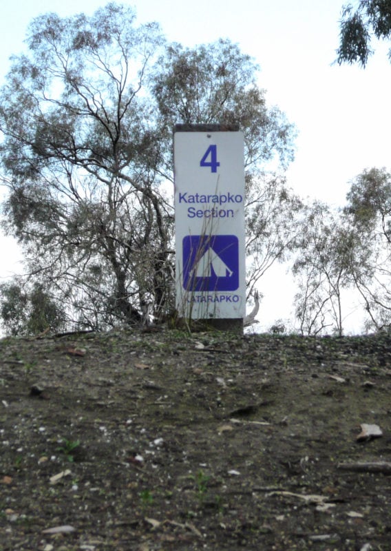
Only some of the campsites are marked so that the campsite number is visible from the water. You'll need to use a map to help in identifying the non-numbered sites.The campsites have fire rings, and some of the sites are near to a long drop toilet. When you're ready to book your kayaks, we can provide you with our campsite evaluation form so you can choose the nicest campsites with good water access.
Park fees - Camping sites can be booked online or booked by phoning the DEWNR office in Wade St, Berri. The number is 08 8580 1800. Currently (March, 2023) $13.50 per site.
A word of explanation regarding naming and locations: Katarapko is part of the Murray River National Park, which covers 6 different locations: Katarapko, Lyrup Flats, and Bulyong Island, and only recently added: Gurra Gurra, Kingston-on-Murray, and Paringa Paddock. Not all of these locations have bookable campsites.
The campsite numbering was reviewed in Jan of 2017, so it pays to ensure you have an updated map, or you may not end up at the campsite you think you have booked.
Is there anything I need to be careful about?
River levels affect the accessibility of to some of the creeks and campsites.
Tracks on the grey clay of the floodplains can become inaccessible after heavy rain.
Snakes – if you see one, chances are it is poisonous! It will be more scared of you than you are of it, so leave it alone and it will slide away. (Good idea to keep your tent zipped up) Know your snake bite first aid and come prepared with compression bandaging.
Although the area is quite isolated, phone coverage exists along most of the length of the creek – if you find yourself in a patchy area, exiting the canoe and climbing to the nearest hill is generally sufficient to regain phone network coverage.
Navigating Katarapko is not difficult; however it is important to take with a good map, and to know how to read it. “River Murray Canoe Guide – Katarapko 1:50000” is a good choice, which we have available for sale. We loan laminated maps to all our customers.
Fire restrictions should be observed - usually 1 November to 30 April. Check with the CFS hotline on 1300 362 361. As with any National Park, firewood cannot be gathered from within the park – you’ll need to bring your own. Please adhere to this – we’re told that it takes 150 years for a tree to form a hollow sufficient to be a home for a bird. Please don’t blow it for one evening’s campfire.
Make sure to bring your own drinking water.
Be aware that Spring will often bring higher water levels and higher flows with managed inundations for environmental watering.
Obstacles
-
- Lock 4 is difficult to portage around – it’s best to go through the lock. Operating hours are 8:00 am – 11:30 am and 1:00 pm – 4:30 pm, 7 days a week. Give them a ring when you're ready to go through and wait for the green light - 85821388
- The Stone Weir on Katarapko Creek cannot usually be paddled over. Portage is required and is best on the right hand side when going downstream.
- Regulators are concrete structures that can regulate the flow of water through creeks. At specific times of the year when these are operating you may need to portage (carry your kayak/canoe) around them - it’s best to get local advice before setting out.
Tell us
Have you kayaked on Katarapko? What did you think of it? What's your favourite campsite?
